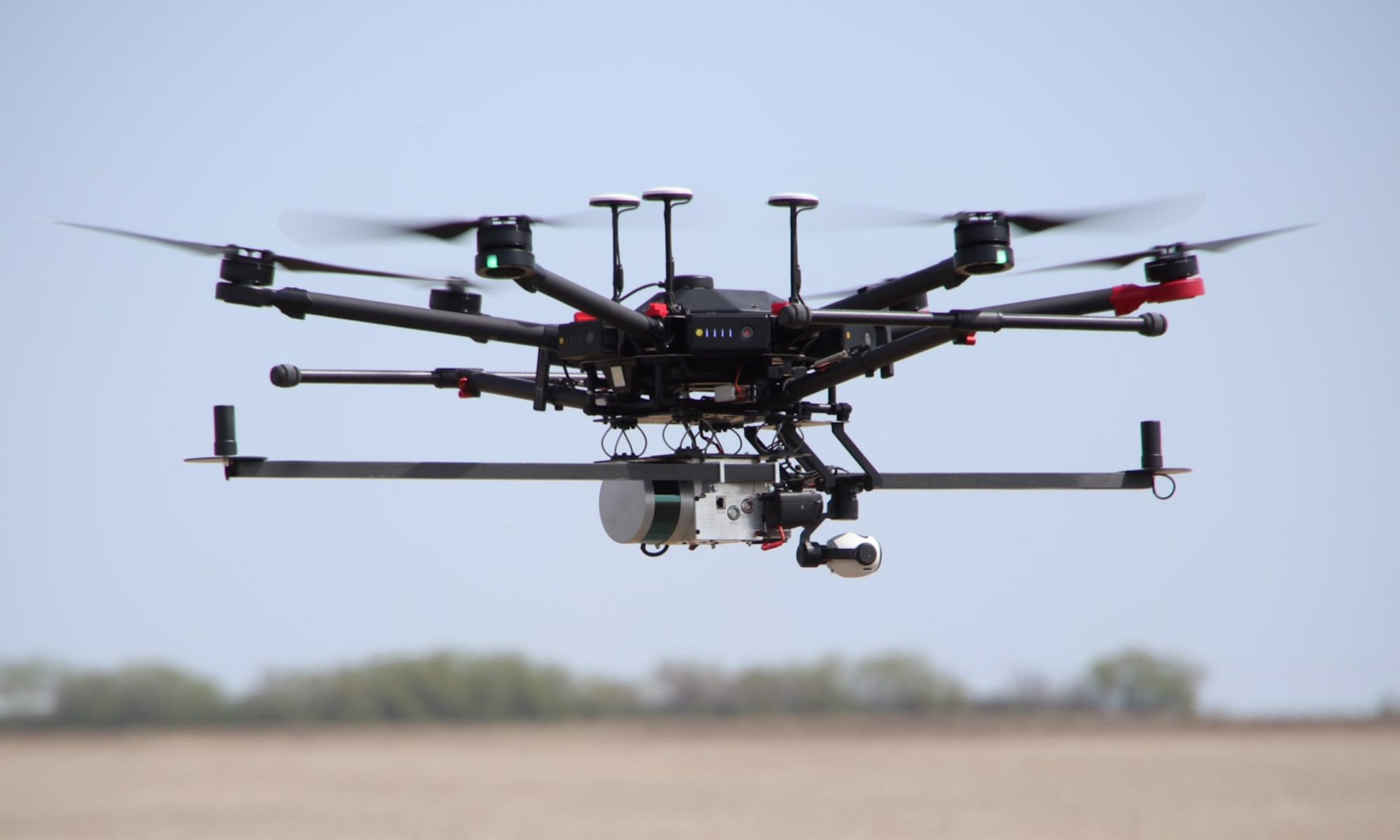
The OpenMMS documentation includes two detailed demo projects that instruct readers on how to process the provided raw geospatial datasets (imagery, lidar, and GNSS-Inertial) collected from an OpenMMS sensor during a typical RPAS-Lidar mission. One demo project utilizes lidar data from a Velodyne VLP-16 sensor, while the other utilizes data from a Livox Mid-40 sensor.
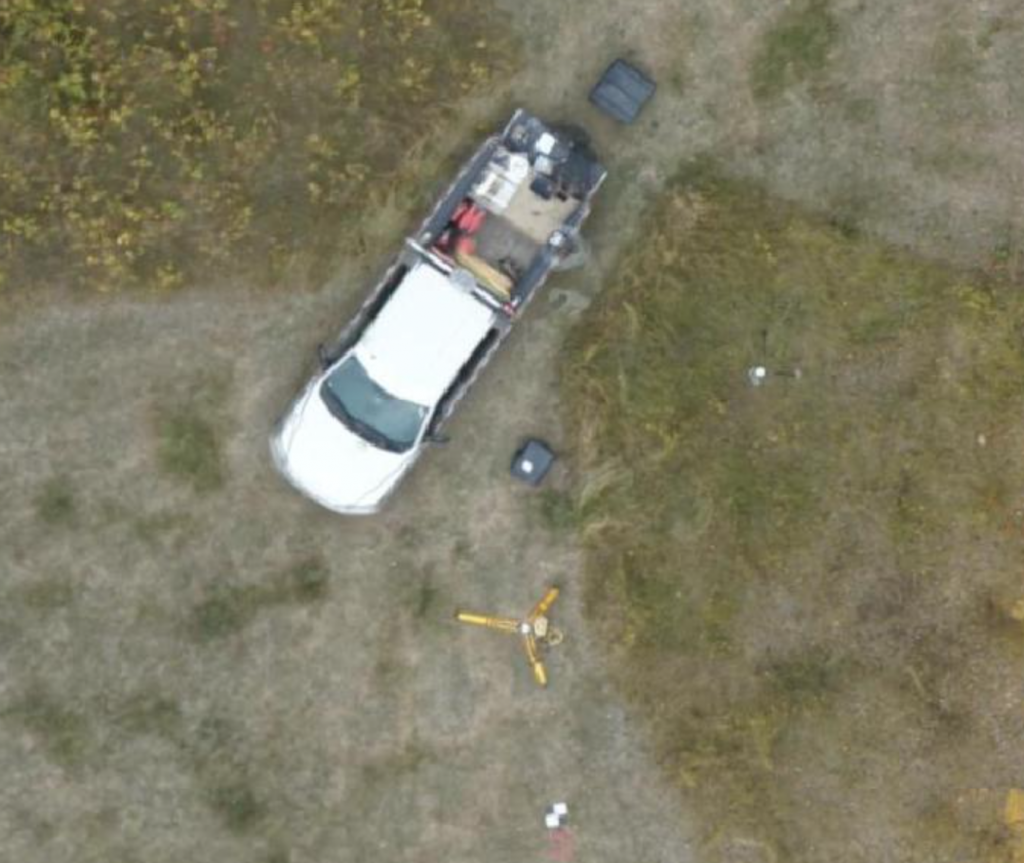
The demo projects focus on generating (and verifying) a georeferenced point cloud from the lidar data and colourizing the point cloud using the perspective imagery collected from a Sony a6000 camera. A brief discussion is also included on how to create a georeferenced orthomosaic from the raw data. To best illustrate the full resolution orthomosaics that can be generated from the OpenMMS demo projects, example orthomosaics – produced using a direct georeferencing method within Pix4D – have been posted and shared on the excellent OpenAerialMap website.
Click HERE to view the OpenMMS demo project orthomosaics on OpenAerialMap.


