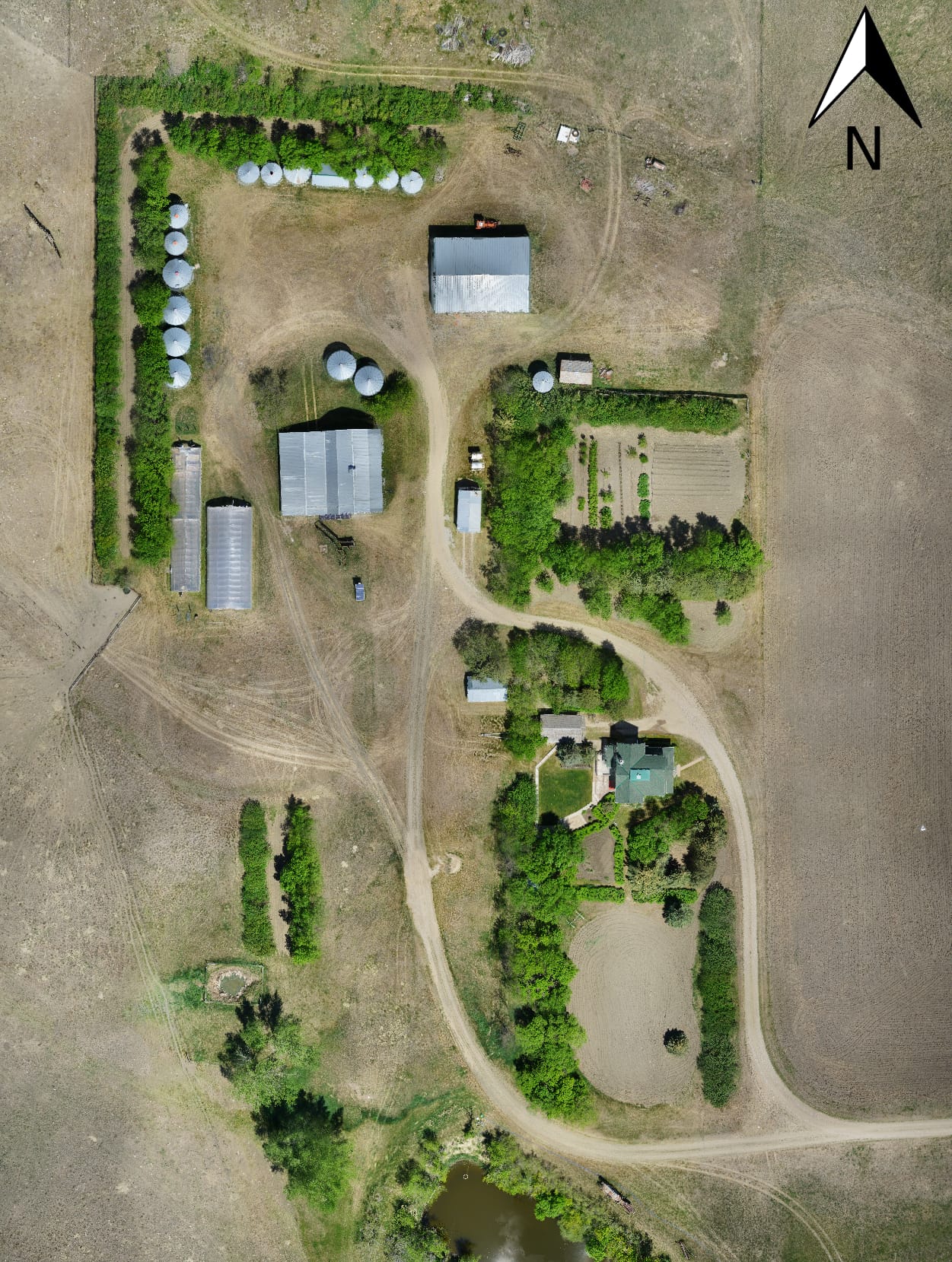
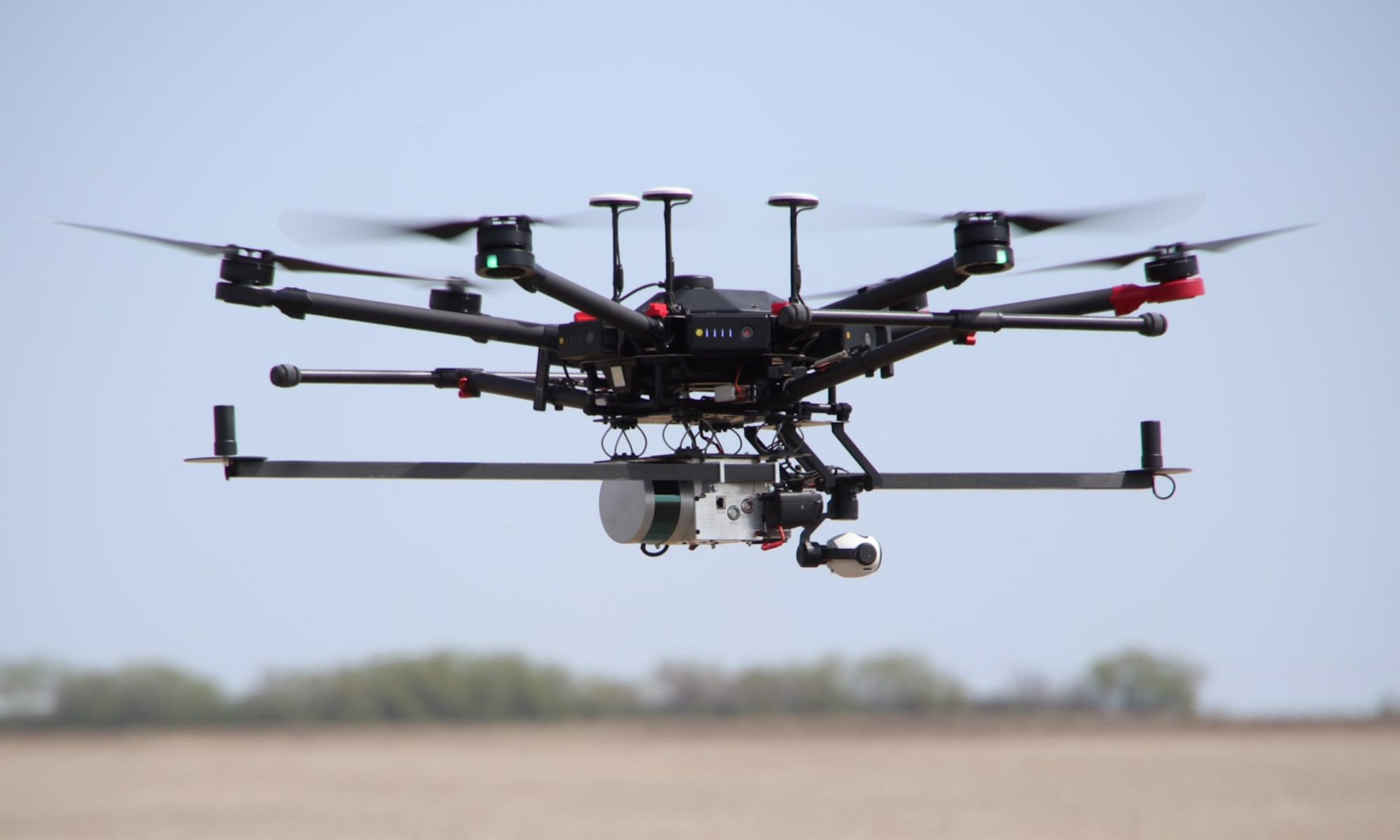
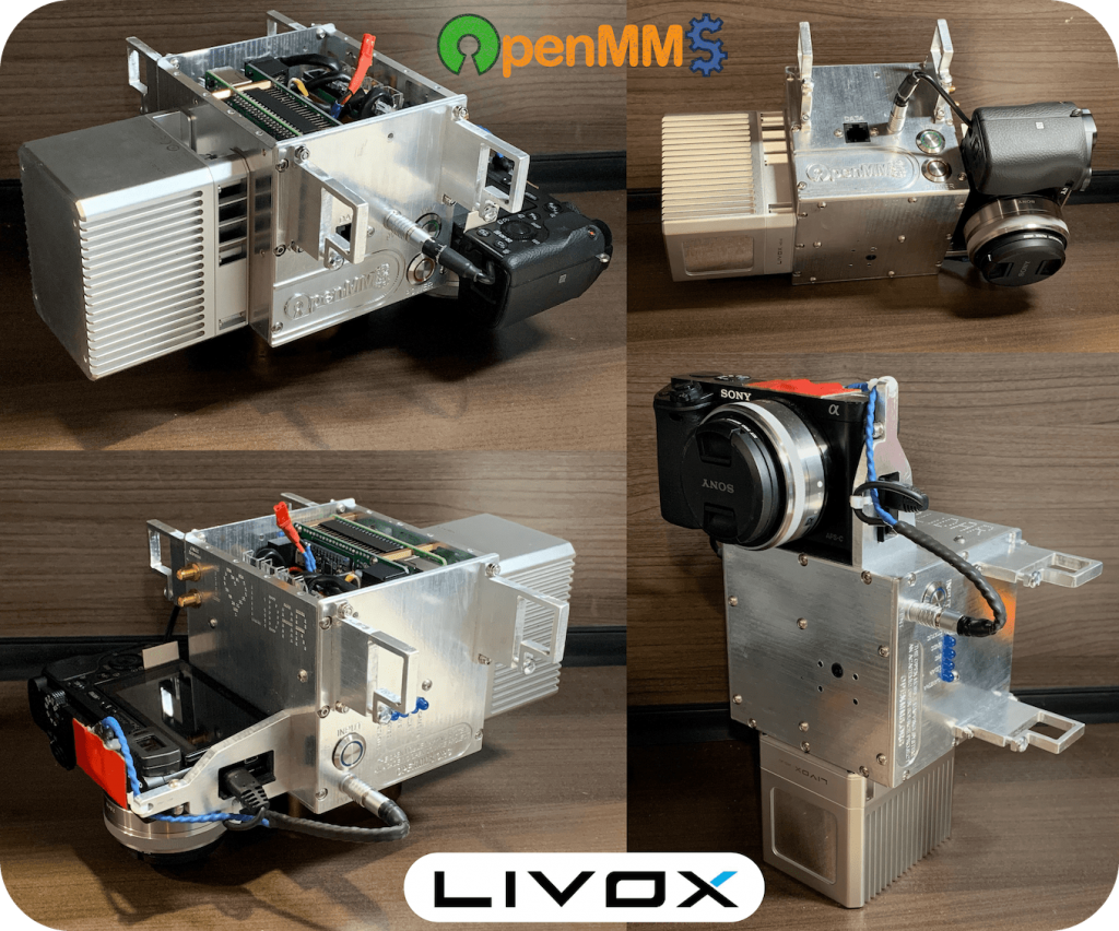
Did you know that included within the OpenMMS documentation (perhaps a bit too buried to be easily found) is a complete lidar and imagery data processing tutorial?!? The tutorial walks you through each of the processing, calibration, QA/QC, and deliverable creation steps of the OpenMMS solution. The tutorial utilizes the OpenMMS Demo Project Data (VLP-16), which is an Open Data Commons licensed collection of drone-captured lidar, GNSS-INS, imagery, and video data (as directly downloaded from an OpenMMS sensor), along with a supporting set of GNSS reference station data and ground control points.
Even if you are not interested in the OpenMMS hardware aspects, perhaps you are a student wanting to learn more about lidar mapping with drones, the data processing tutorial is designed to explain and showcase a complete RPAS-Lidar data processing workflow. The tutorial includes over 100 images/screenshots, 4 detailed videos, and clear and concise instructions. The detailed videos showcase how to use the 3rd party geospatial software applications required as part of the OpenMMS data processing workflow, including Applanix POSPac UAV, Pix4Dmapper, and CloudCompare. However, as most users will not have full licenses for POSPac and Pix4D, the necessary datasets produced from these applications are also included as part of the tutorial.
Click here to start the tutorial!


