Welcome › Forums › General Discussion › Can this project applied to ground vehicles?
Tagged: autonomous-driving, car, ground, hd-map
- This topic has 5 replies, 2 voices, and was last updated 2 years, 11 months ago by
Ryan B.
-
AuthorPosts
-
-
July 2, 2021 at 11:34 PM #976
Anonymous
InactiveHello all,
I found this project several days ago, and am really fascinated. May I ask about the possibility of applying all this workflow with data collected from a car, i.e, not using APX-18 in terms of hardware; and the fact that it is conducted by a car. What are considerations that I need to take?
Thank you in advance.
-
July 20, 2021 at 6:58 PM #991
Ryan B
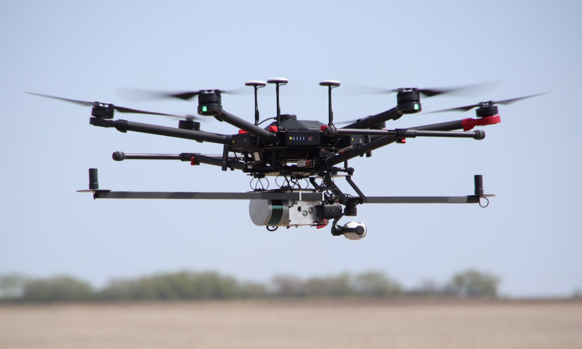
KeymasterOpenMMS is a direct georeferencing solution and relies on a GNSS-Inertial sensor (i.e., the APX-18) for determining the positions and orientations (pose) of the lidar sensor and the Sony mapping camera. OpenMMS is planning on experimenting with SLAM-based processing in the future but currently does not support it.
-
This reply was modified 3 years, 9 months ago by
Ryan B.
-
July 20, 2021 at 8:09 PM #993
Anonymous
InactiveSo terminologically speaking, Direct Georeferencing is the term to indicate mapping from the air only? Is my understanding right?
Why does ground vehicle cannot apply Direct Georeferencing? Why have to be SLAM?
-
July 21, 2021 at 7:23 AM #994
Ryan B
KeymasterDirect Georeferencing (DG) simple means that the position and orientation of the mapping sensor(s) (ie., lidar or imaging) at the time of observation is estimated with respect to the position and orientation of a dedicated GNSS+Inertial sensor (ie., one or more GNSS antenna/receivers and an inertial measurement unit (IMU)). DG can be used anywhere with an adequate line of sight to the sky in order to make GNSS observations on any type of vehicle (ground or aerial-based). That being said, GNSS-Inertial sensors are designed to provide position and orientation estimates during periods of no GNSS observations (i.e., driving through a tunnel) but the precision of the estimates will begin to degrade when regular GNSS observations are unavailable. How quickly the estimates degrade is largely a function of quality of IMU being used within the sensor. Hope that helps.
One of previous videos showcases using OpenMMS being held in the hands of an operator and walking around an urban environment and mapping. See here, https://www.openmms.org/latest-openmms-video/
-
July 21, 2021 at 9:06 PM #995
Anonymous
InactiveYeah, DG is terminology is quite intuitive. I was just confused when you mentioned SLAM when talking about the feasibility of applying OpenMMS to creating LiDAR 3D maps with a car, which might have resulted from my unclear question.
So, by the way, for operating on a car, if I replace APX-18 with OpenRTK330LI, I think these might be some of the modifications:
– The hardware connections from OpenRTK330LI board to the outside
– The driver stuff of OpenRTK330LI to adapt to that of the APX-18what more modifications do you think I need to make to reproduce the same result compared to the original set? Because I’m quite new, and currently cannot cover more detailed aspects.
-
August 5, 2021 at 7:45 PM #997
Anonymous
Inactive@Ryan B,
Yeah, the term DG is quite intuitive. I was just confused when you mentioned SLAM when I asked about the feasibility of applying OpenMMS to make a LiDAR 3D map, which might have resulted from my unclear question.
So, by the way, for operating on a car, if I replace APX-18 with OpenRTK330LI, what modifications do you think I need to make, in order to reproduce the same result as the original set, I think these might be some of the modifications:
– The hardware connection from the OpenRTK330LI to the outside
– The driver stuff of OpenRTK330LI to adapt to that of APX-18 to work with other parts of the systemWhat else do you think I need to consider? As I’m quite new to MMS, I currently cannot cover more detailed aspects, I would really appreciate your help.
-
May 5, 2022 at 6:23 AM #1038
Ryan B
KeymasterHello.
Unfortunately there is no simple answer to your question. I don’t mean to be vague, but there is no easy way to simply swap 1 sensor out for another. Voltages, communications protocols, physical size, interference characteristics, etc., etc. would all need to be considered to properly answer your question.
I’m happy to provide advice to as many very specific questions as you want moving forward.
Thanks,
Ryan
-
-
-
This reply was modified 3 years, 9 months ago by
-
-
AuthorPosts
- You must be logged in to reply to this topic.

