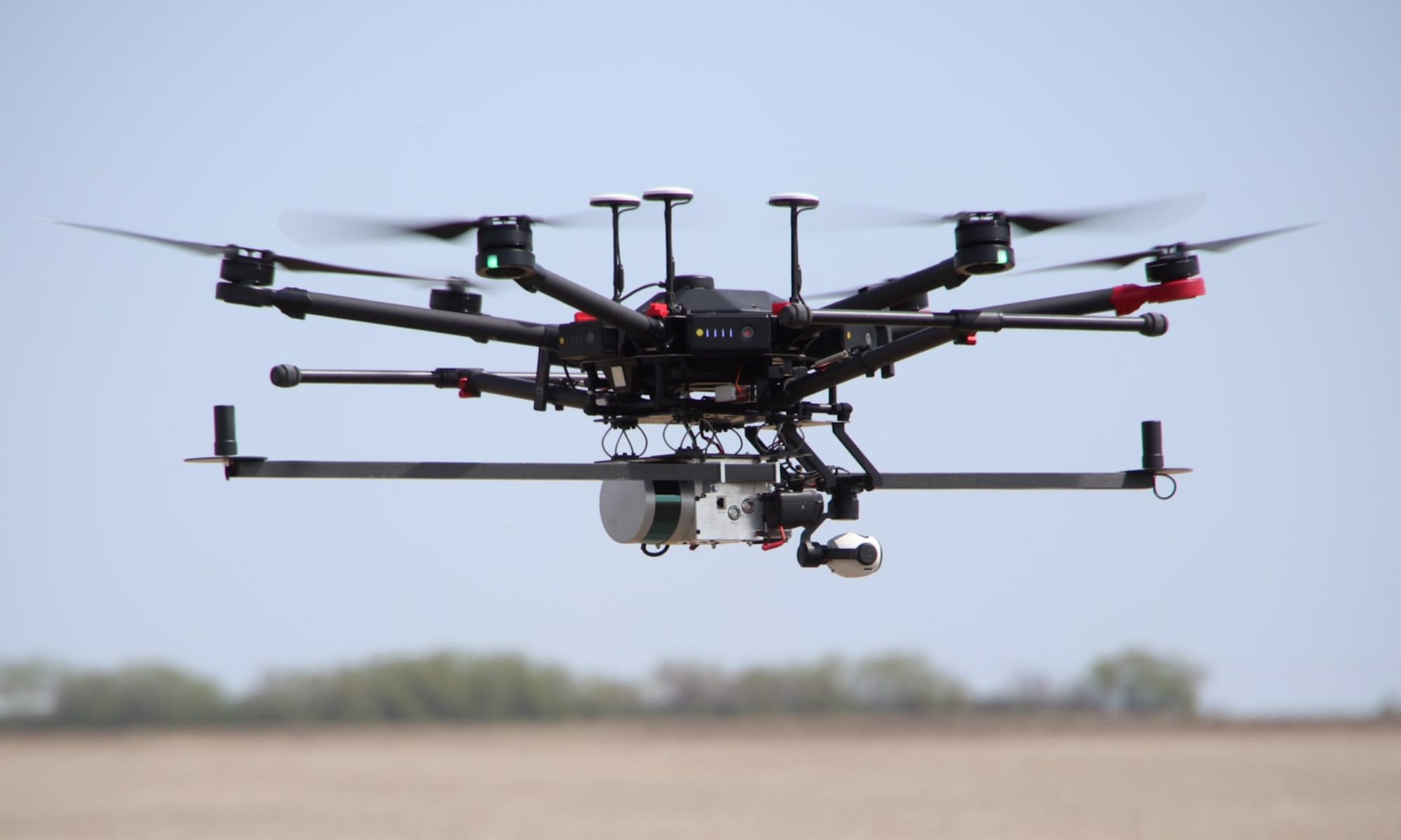
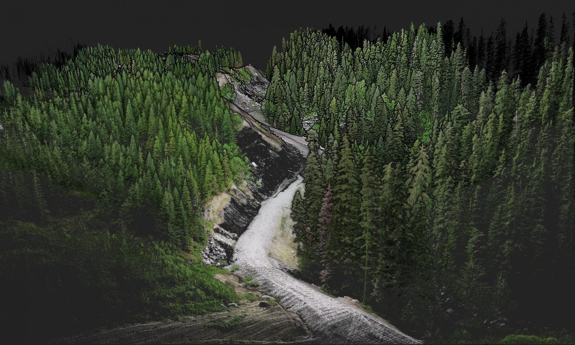
The image above showcases a georeferenced point cloud generated from data collected by an OpenMMS sensor installed on an RPAS/UAS, and processed by OpenMMS software.
The dataset at this link displays another OpenMMS generated point cloud within the amazing open-source web-based point cloud viewer, Potree.
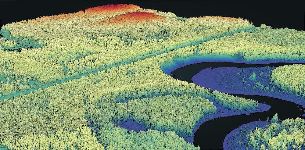
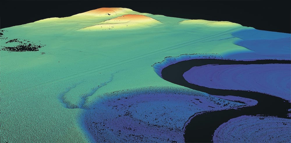
Can’t see the terrain, but for the trees? Move the slider across the OpenMMS point cloud below to understand the ‘magic’ of lidar!
Below are simulated videos of an aerial mapping project and a terrestrial mapping project from an OpenMMS sensor. The videos showcase the lidar point cloud in true colour and as intensity values and also show a picture-in-picture view of a video recorded from the sensor alongside the point cloud.


