OpenMMS Data Processing Tutorial #2

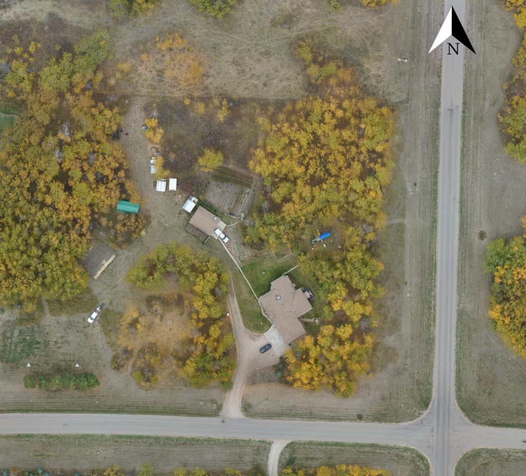
A 2nd data processing tutorial that details using Livox MID-40 lidar data has been added to the OpenMMS documentation. Just like the 1st tutorial, this new tutorial walks you through each of the processing, calibration, QA/QC, and deliverable creation steps of the OpenMMS solution. The tutorial utilizes the OpenMMS Demo Project Data (MID-40), which is an Open Data Commons licensed collection of drone-captured lidar, GNSS-INS, imagery, and video data (as directly downloaded from an OpenMMS sensor), along with a supporting set of GNSS reference station data and ground control points.

Click here to start the tutorial!

Orthomosaic produced from the OpenMMS Demo Project Data (MID-40)

Livox MID-40 lidar sensor integration (update 2)

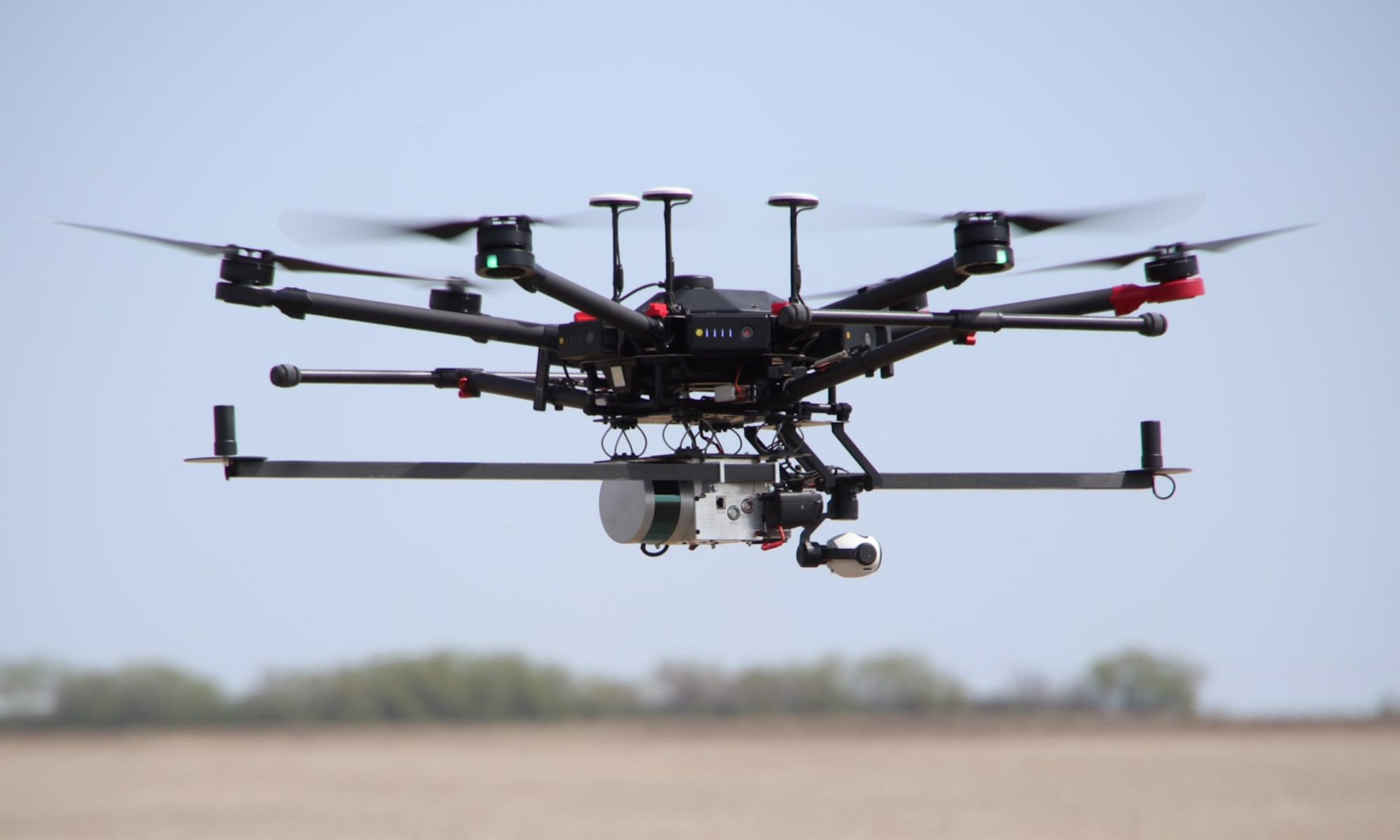
Very happy to report that the Livox LiDAR MID-40 sensor integration into the OpenMMS project is now 100% complete! Check out the OpenMMS documentation for details on how to make, calibrate, and operate your own professional open-source mobile mapping system, and generate industry-leading geospatial deliverables.

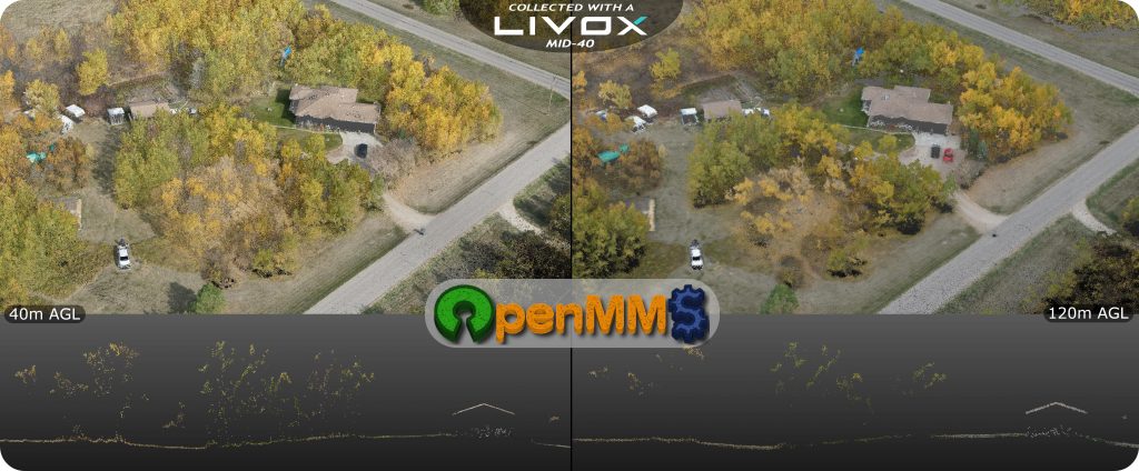
Recent RPAS field tests of the OpenMMS v1.3 sensor installed with a Livox MID-40 sensor produced truly astonishing results! Excellent lidar coverage through various types of vegetation (triple lidar returns), minimal reductions in data fidelity and spatial accuracy at 120m AGL (yes, you read that correctly, at ceiling altitude), and rock-solid reliability even during flights with high dynamics!!