We are excited about the opportunity to deliver a presentation on some of the technical aspects of OpenMMS at the upcoming (virtual) American Society of Photogrammetry and Remote Sensing (ASPRS) 2021 Annual Conference. There are over 100 scheduled presentations from leading academic researchers, industry experts, and students within the conference’s Technical Program.
The Start of OpenMMS Version 2.0
Very excited to share the news that research and development into version 2.0 of the Open Mobile Mapping System has officially begun! The major R&D goals include:
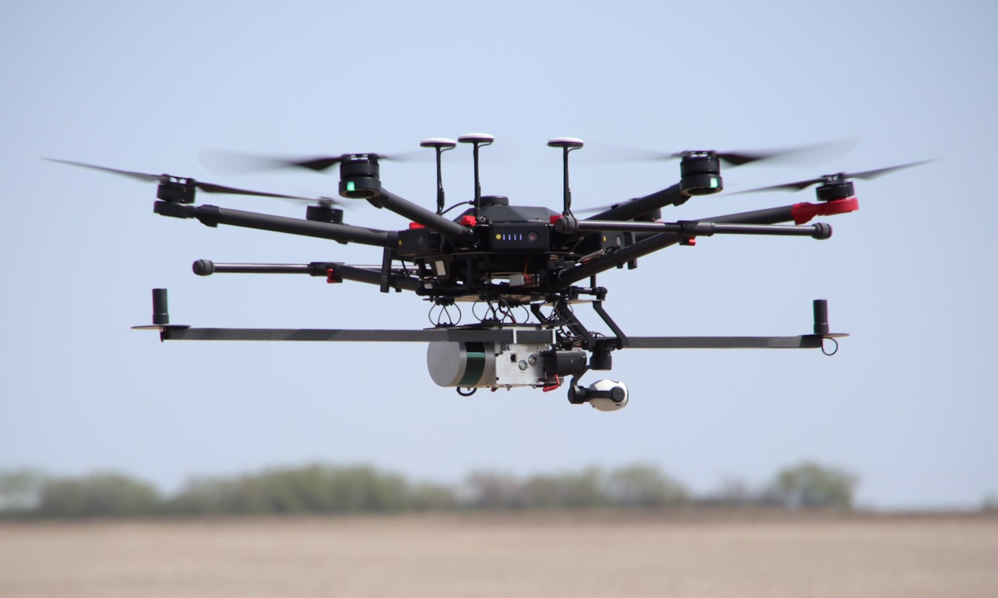
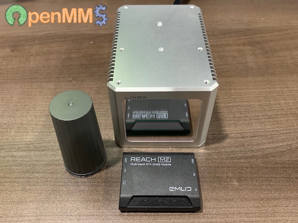
- Support for the Livox Horizon lidar sensor (with internal Bosch BMI088 IMU)
- Support for the Emlid Reach M2 Dual-Frequency GNSS sensor
- Support for the Raspberry Pi High Quality Camera
- Evaluate the performance of using the Horizon’s IMU observations + the M2’s GNSS observations for estimating a post-processed trajectory
- Creation of a graphical user interface (GUI) desktop application for the OpenMMS software suite
Sign-up and become an OpenMMS community member to join the Forum discussions and subscribe to the News to receive email alerts about the latest project developments.
OpenAerialMap showcase of OpenMMS Orthomosaics
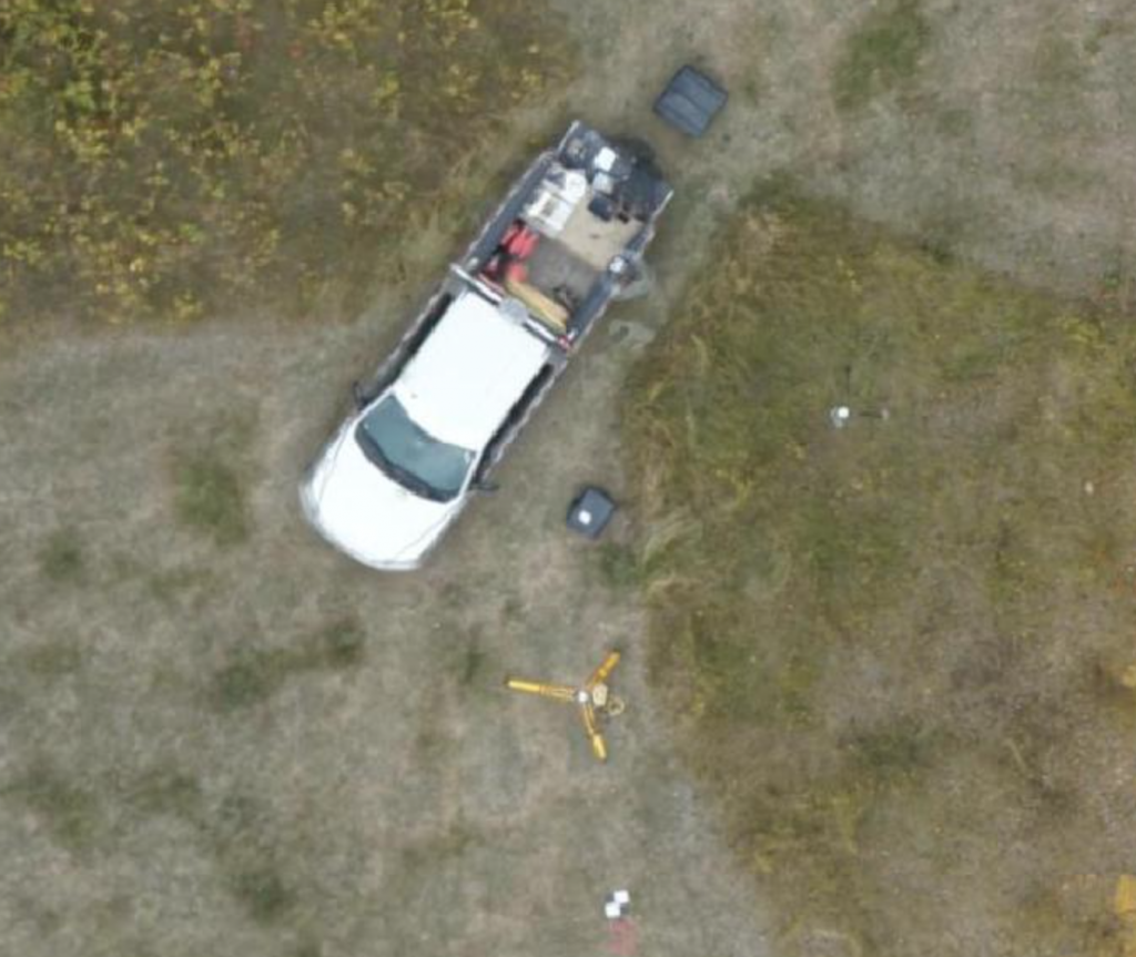
The OpenMMS documentation includes two detailed demo projects that instruct readers on how to process the provided raw geospatial datasets (imagery, lidar, and GNSS-Inertial) collected from an OpenMMS sensor during a typical RPAS-Lidar mission. One demo project utilizes lidar data from a Velodyne VLP-16 sensor, while the other utilizes data from a Livox Mid-40 sensor.
The demo projects focus on generating (and verifying) a georeferenced point cloud from the lidar data and colourizing the point cloud using the perspective imagery collected from a Sony a6000 camera. A brief discussion is also included on how to create a georeferenced orthomosaic from the raw data. To best illustrate the full resolution orthomosaics that can be generated from the OpenMMS demo projects, example orthomosaics – produced using a direct georeferencing method within Pix4D – have been posted and shared on the excellent OpenAerialMap website.
Click HERE to view the OpenMMS demo project orthomosaics on OpenAerialMap.